The Science Behind OBX’s Massive Sand Dunes
At first glance, the dunes of the Outer Banks look almost unreal. Huge walls of sand rise unexpectedly beside the flat coastline.
Published
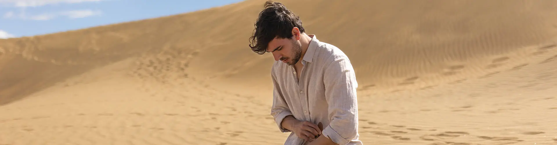
At first glance, the dunes of the Outer Banks look almost unreal. Huge walls of sand rise unexpectedly beside the flat coastline. Wind reshapes their edges every day. Some areas feel more like a desert than a beach town. And standing on top of them, especially at places like Jockey’s Ridge State Park, you begin to realize these aren’t static landscapes. They’re moving.
That’s the fascinating part about the Outer Banks dunes; they’re alive in a geological sense. They shift, migrate, erode, rebuild, and respond constantly to wind, storms, and water.
The dunes are not permanent structures. They’re part of a system that’s always changing.
The Outer Banks itself is essentially a chain of barrier islands - long, narrow strips of sand that sit between the Atlantic Ocean and mainland North Carolina. According to NOAA, barrier islands form when waves and currents deposit sand parallel to the coastline over long periods of time. These islands naturally shift and evolve as tides, storms, and wind continue moving sediment.
In other words, the entire Outer Banks is built from moving sand. That movement is what eventually creates dunes.
When strong coastal winds blow dry sand inland from the beach, obstacles like grasses, shrubs, or even slight elevation changes slow the wind just enough for sand to accumulate. Over time, these deposits grow larger and larger. Vegetation helps stabilize parts of the dunes, while open sections continue migrating with the wind.
But OBX dunes became unusually large because the conditions here are unusually extreme.
No place demonstrates that better than Jockey’s Ridge State Park. Often called the tallest living sand dune system on the Atlantic Coast, Jockey’s Ridge is one of the most geologically unique places on the East Coast. The word “living” is important. It doesn’t mean the dune is biologically alive, it means the dune is still actively moving and reshaping itself. Wind constantly pushes sand across the ridge, changing its height, slope, and direction over time. Some years the dunes are taller. Other years they flatten slightly depending on storms and seasonal wind patterns.
Researchers studying Jockey’s Ridge found that the entire dune field gradually migrates southwest over time.
So technically, the landscape visitors climb today is not exactly the same landscape that existed a decade ago.
What makes Jockey’s Ridge even more interesting is how it formed in the first place. Geologists believe the dunes began forming roughly 3,000 to 4,000 years ago. Storm currents and hurricanes likely pushed enormous amounts of sand from offshore shoals toward the coastline. Winds then carried that sand inland, slowly building the dune system over centuries. The sand itself is mostly quartz, broken down from ancient Appalachian rock over millions of years and transported through rivers and ocean currents before eventually settling along the North Carolina coast. That means the dunes are essentially made from mountains, just transformed through time, water, and wind.
Wind is still the main architect of the dunes today.
In winter, stronger northeast winds tend to push sand in one direction. During summer, southwest winds often reverse some of that movement. According to the Friends of Jockey’s Ridge, these alternating wind patterns help prevent the dunes from simply blowing away entirely.
That balance keeps the dune system active but stable enough to survive. And the scale is enormous. The dune field covers roughly 426 acres, and estimates suggest it contains enough sand to fill millions of dump trucks.
Standing there, you can actually watch the science happening around you. Ripples form across the sand surface. Grasses trap new sediment. Wind lifts grains into the air and shifts entire slopes over time. It’s geology happening in real time.
But dunes aren’t just visually dramatic, they’re incredibly important. According to the National Park Service, coastal dunes act as natural barriers against storms, wind, and wave energy. They help protect inland habitats, marshes, roads, and even human development during hurricanes and storm surges. Without dunes, much of the Outer Banks would be even more vulnerable than it already is.
Barrier islands are among the most dynamic landforms in the world. They are constantly reshaped by storms, erosion, and rising seas. Recent erosion along parts of the Outer Banks has become especially visible. Oceanfront homes in areas like Rodanthe and Buxton have collapsed into the sea in recent years as shorelines retreat and storms intensify. Scientists often describe barrier islands as “migrating” landforms. During major storms, waves wash sand across the island from the ocean side toward the sound side in a process called overwash. This movement is actually natural, and essential for the long-term survival of the islands. The islands survive by moving.
That idea feels strange at first because we tend to think of land as fixed. The Outer Banks challenges that assumption completely.
There’s also something psychologically unusual about dunes this large. People don’t expect this kind of terrain on the East Coast. You climb a ridge of sand and suddenly the environment feels closer to a desert, with sweeping open views and shifting surfaces that erase footprints within hours. Locals sometimes call Jockey’s Ridge “The Living Dune” because no two visits ever feel exactly the same. Even longtime visitors notice how the contours shift over the years. And maybe that’s what makes the dunes so compelling. They remind you that the Outer Banks is not a finished landscape. It’s still forming. Still changing. Still moving with the wind and sea the same way it has for thousands of years.