
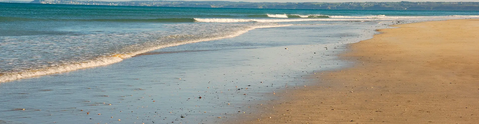
If you stand on the ocean side of the Outer Banks during a rough Atlantic swell, you’ll feel the wind pushing hard, waves pounding and dunes taking the brunt of it. Then if you drive west across the sound toward the mainland, you will find that the water is calmer, the shoreline steadier. That contrast is not accidental. It’s the quiet, powerful work of barrier islands. Stretching like a thin ribbon off North Carolina’s coast, the Outer Banks are part of a chain of barrier islands that function as natural shock absorbers for the mainland. Without them, eastern North Carolina would look and flood very differently.
What exactly is a barrier island?
Barrier islands are long, narrow landforms built primarily from sand. They sit parallel to the mainland, separated by lagoons, bays, or sounds and in this case, the Albemarle and Pamlico Sounds. According to the U.S. Geological Survey (USGS), barrier islands form from sediment transported by waves and currents, shaped continually by tides, storms, and sea-level changes. They are inherently dynamic as they are designed by nature to move and adjust rather than stay fixed in place. The Outer Banks are a textbook example - constantly reshaped by hurricanes, nor’easters, and shifting shoals. And that movement is part of their protective power.
They reduce storm surge
Storm surge which is the abnormal rise of seawater during hurricanes or strong coastal storms is one of the deadliest coastal hazards. Barrier islands act as the first line of defense. When a hurricane approaches the North Carolina coast, it hits the barrier islands before it reaches the mainland. The dunes, beaches, and maritime forests absorb and dissipate wave energy. Overwash events, when water pushes across the island, may damage roads or homes on the island itself, but they reduce the force and volume of water that ultimately reaches inland communities.
The National Oceanic and Atmospheric Administration (NOAA) notes that natural coastal features such as barrier islands and dunes can significantly reduce wave height and slow inland flood penetration during storms. Without the Outer Banks, storm surge from the Atlantic would move directly into the Pamlico and Albemarle Sounds and onward to mainland towns like Elizabeth City and areas further inland. In other words, the islands take the hit first.
They buffer wind and wave energy
Beyond surge, barrier islands reduce wave energy. As Atlantic waves break along OBX beaches, friction and sandbars dissipate momentum. By the time water crosses the sounds toward the mainland, wave heights are typically much smaller. Research from the USGS shows that barrier islands decrease coastal erosion rates inland by disrupting wave patterns and limiting direct ocean exposure. This buffering effect is particularly important for North Carolina, which ranks among the top states in hurricane landfalls and tropical storm impacts over the past century. The Outer Banks function like a living seawall, but one made of sand, vegetation, and motion rather than concrete.
They protect estuaries and fisheries
The Pamlico Sound is one of the largest lagoon systems in the United States. It supports extensive fisheries, shellfish beds, and nursery habitats for species like flounder, blue crabs, shrimp, and striped bass. Barrier islands shield these waters from direct ocean salinity and turbulence. According to the North Carolina Division of Marine Fisheries, estuarine systems depend on balanced salinity levels to sustain breeding and juvenile growth. The barrier islands regulate how much ocean water enters the sounds, maintaining a delicate ecological equilibrium. If the Outer Banks did not exist, the Albemarle-Pamlico estuary system would face significantly different tidal and salinity conditions, altering one of the most productive fisheries systems on the East Coast.
They support natural dune systems
The dunes along Cape Hatteras National Seashore and elsewhere in OBX are not decorative. They are engineered by wind and anchored by vegetation like sea oats. Dunes store sand during calm periods and release it during storms, allowing beaches to rebuild over time. The National Park Service emphasizes that dune systems reduce inland flooding and erosion by acting as elevated barriers during high water events. Artificial seawalls, by contrast, often increase erosion at their base. Barrier islands, because they are dynamic, absorb and redistribute sand rather than deflecting energy. This flexibility is critical in a time of rising sea levels.
They adapt, even when it’s inconvenient
One of the most misunderstood aspects of barrier islands is overwash, when storm waves push sand across roads and into back-barrier areas. To residents and visitors, overwash can look like destruction. To coastal scientists, it’s renewal. USGS research explains that overwash deposits sand on the island’s sound side, helping it migrate landward over centuries in response to sea-level rise. This process allows barrier islands to survive rather than drown. The Outer Banks have shifted westward over thousands of years. It’s part of their life cycle. That adaptability is precisely what makes them effective protectors of the mainland.
Why this matters now
Sea levels along the North Carolina coast have risen approximately 8 inches over the past century, according to NOAA tide gauge data from nearby stations. Climate models show continued rise in the coming decades. Barrier islands are one of the few natural systems capable of adjusting to that change, provided they are allowed to move. When development restricts natural sediment flow, dune rebuilding, or island migration, protective capacity weakens.
In other words, protecting the Outer Banks helps protect the mainland.
Most beachgoers don’t think about hydrodynamics while watching a sunrise in Nags Head. The barrier islands stand between the Atlantic and the mainland as living systems constantly negotiating with wind and water. They flood, they erode, they rebuild. And in doing so, they perform one of the most important environmental services on the East Coast. Without them, eastern North Carolina would face stronger surges, saltier estuaries, greater erosion, and higher flood risk.