Kill Devil Hills: History, Beaches & Wright Bros. Flight
Kill Devil Hills boasts beaches, brews, and the Wright Brothers' legacy. Explore history, nature, and adventure in this Outer Banks gem.
Published
Kill Devil Hills & The Wright Brothers
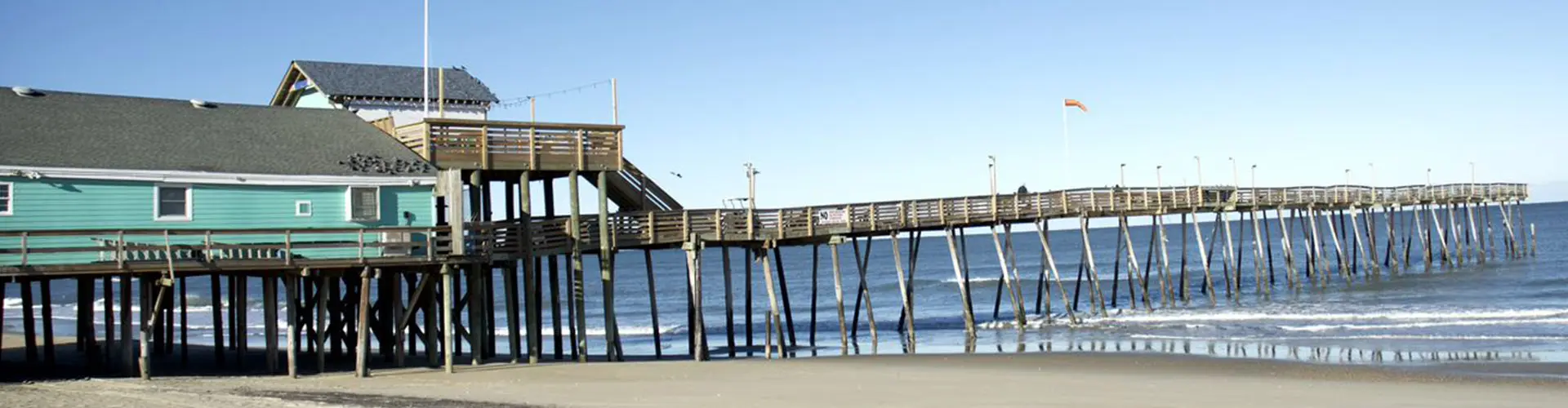
The true home of the birth flight, Kill Devil Hills is a thriving small city with a wonderful beach, a fantastic fishing pier and a microbrewery turning out some great beers and ales.
There are quite a number of colorful stories about how Kill Devil Hills got its name. Linguists generally agree that the name is a derivation of the word killdeer, a shorebird that was once common in the area and is still seen occasionally.
A logical explanation but it lacks the panache of the more lurid tales.
According to the most popular account, in colonial times local residents brewed up a rum that was so harsh and powerful that at least one customer remarked that even one sip of it could “kill the devil.”
Placing Kill Devil Hills on the Map
Kill Devil Hills is sandwiched between Kitty Hawk to the north and Nags Head to the south. Colington Island, an unincorporated part of Dare County is at the end of Bay Drive to the west. Colington is mostly residential, although there are a few weekly rentals in the mix.
The Wright Brothers National Memorial
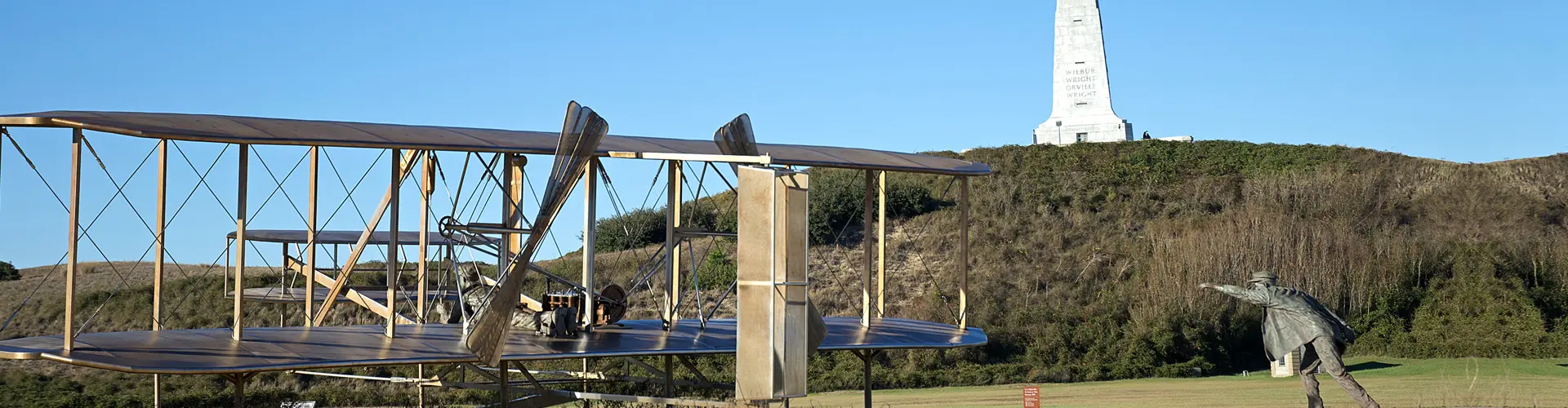
Located in the heart of Kill Devil Hills, the Wright Brothers National Memorial is a must see part of the Outer Banks experience. Dominated by the monument that sits on top of Kill Devil Hill, the granite memorial soars 150’ above the surrounding land. The monument itself is 60’ high.
Be sure to hike to the top. The view is absolutely worth the effort.
The site is far more than the monument, though, and is worth setting aside a few hours to really take in what the Wright Brothers accomplished.
There were three flights on December 17, 1903, the longest covering 852’ in 59 seconds and ending in what could arguably be called the first powered flight crash, although the aircraft was repairable and no one injured.
For many people who visit, the museum is the highlight of the day. What becomes apparent in learning about the brothers is that they were not dilettantes, that they applied scientific principal to their theories of flight.
Especially if there are children in the group, be sure to catch the 15 minute interpretation of the how the Wright Brothers flew given in the Rotunda by National Park personnel. The talk is geared toward children, but done in a way that adults find fascinating.
The Wright Brothers at Kill Devil Hills
After staying in Kitty Hawk with Bill and Addie Tate in 1900, it became apparent to the brothers that they needed a permanent camp at Kill Devil Hill. Although grass covers the ground now and there is a small forest to the west, in 1900 everything was an open field of sand with a large shifting dune just to the south of their campsite.
It was the perfect location. The winds were steady and the Outer Banks were well away from prying eyes. Perfect except for the mosquitos.
“There was no escape. The sand and grass and trees and hills and everything were fairly covered with them. They chewed us clear through our underwear and socks. Lumps began swelling up all over my, body like hen’s eggs,” Orville wrote to his sister Katharine.
They would come to the Outer Banks in late summer or early fall and stay for about three months. In 1901 and 1902 they worked on glider designs, rejecting much of the accepted wisdom of the day as their gliders became more sophisticated.
By 1903 their glider was the largest they had built, capable of lifting a man and a machine. On December 17, 1903, with the wind blowing at 27mph, Orville Wright trundled down the rails that had been constructed as a runway and lifted into the air for a 12 second 120’ flight.
Navigating the Town of Kitty Hawk
Some important terminology
In the main towns of the Outer Banks, US158 is Croatan Highway, but is most often referred to as the Bypass.
NC12 is Virginia Dare Trail but is usually called the Beach Road.
Regular visitors and residents navigate by mileposts. So someone might give directions saying, “Meet me at the Brewing Station, milepost eight on the Bypass,” meaning the Brewing Station is about eight miles south of the intersection of NC12 and US158 on Croatan Highway, also known as the Bypass.